This e-book illustrates a recent technical study, “Prioritizing Investments for Sediment Retention: Case of Kaligandaki Hydropower Plant” commissioned by the World Bank to assess sediment sources and potential mitigation activities to reduce sedimentation at the Kaligandaki A Hydropower Plant within the Kaligandaki Basin, Nepal. The e-book is an interactive tool designed to allow users to explore the data; the methodology for both modeling sediment fate and transport in the Kaligandaki Basin and modeling sediment mitigation employed for the analysis; and to spatially visualize the results of the analysis using an interactive mapping tool. For more detail on the methods employed, see the report here.
This study fills an important knowledge gap in sediment mitigation for hydropower facilities:
The overall analytic approach, illustrated in the figure below, was a stakeholder-driven process that engaged government institutions, researchers, and local experts in each step of the analysis. The approach was used to make recommendations to inform the Catchment Area Treatment (CAT) plan component of the Kaligandaki A Hydropower Plant Rehabilitation Project.
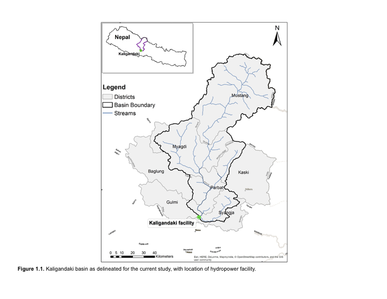
The Kaligandaki A hydropower plant is operated by the Nepal Electricity Authority (NEA) and is the largest power plant in Nepal. Kaligandaki A has faced sedimentation challenges since becoming operational in 2002. In order to better manage sedimentation, the Kaligandaki A Hydropower Plant Rehabilitation Project includes a $0.8 million subcomponent – Catchment Area Treatment (CAT) plan – to manage sediment through investments in the 7,618 km2 upper catchment area.
The upper reaches of the Kaligandaki river originate in the high Himalayas, above about 2,500m elevation. At about 2,500m, the river enters a gorge which extends to and beyond the Kaligandaki dam. Sediment load in Nepalese rivers is among the highest in the world, with the majority of sediments transported during the monsoon season. These high sediment loads are mainly due to the young geologic age of the Himalayas, their active geology, and heavy seasonal rainfall. Natural disasters such as landslides, mass wasting (or slope movement) and debris flows, and glacial lake and landslide dam outburst floods are very frequent and also cause high sediment loads. Anthropogenic activities also contribute to excessive sediment loads, where a lack of integrated spatial planning and development leads to inappropriate land uses implemented in high-risk areas. These include expansion of agriculture onto steep slopes, forest degradation and conversion to anthropogenic uses, and rural road construction without proper sediment management practices.
The data for this study were collected via direct requests to the relevant government agencies (e.g., Survey Department, Ministry of Land Reform and Management, Department of Hydrology and Meteorology, Nepal Electricity Authority, Department of Roads) wherever possible. In some cases, data were utilized from outside sources when local data were not available. The data used for initial model setup were reviewed in an interim stakeholder meeting in March 2016, where stakeholders identified additional sources of data which were later collected and utilized as appropriate. Broadly, the input data can be grouped into five categories: topography or terrain, soils, land use, climate, and land management.