Google Earth Engine
| Source | Google Inc. |
| Category | Modeling Tool, Desktop App |
| Sector | ICT, Forestry, Water, Environment |
| Technology Platform | Internet App |
| Date Started/Timeframe | 2013 - present |
| Website/URL | https://earthengine.google.com/ |
| Location(s) | Mountain View, California |
| Primary Language(s) | English, French |
| Keywords | Data Analysis, Visualization, Geospatial |
| Targeted Stakeholder | Analytical and Spatial Specialists working in Ministeries, NGOs and other regional government organizations |
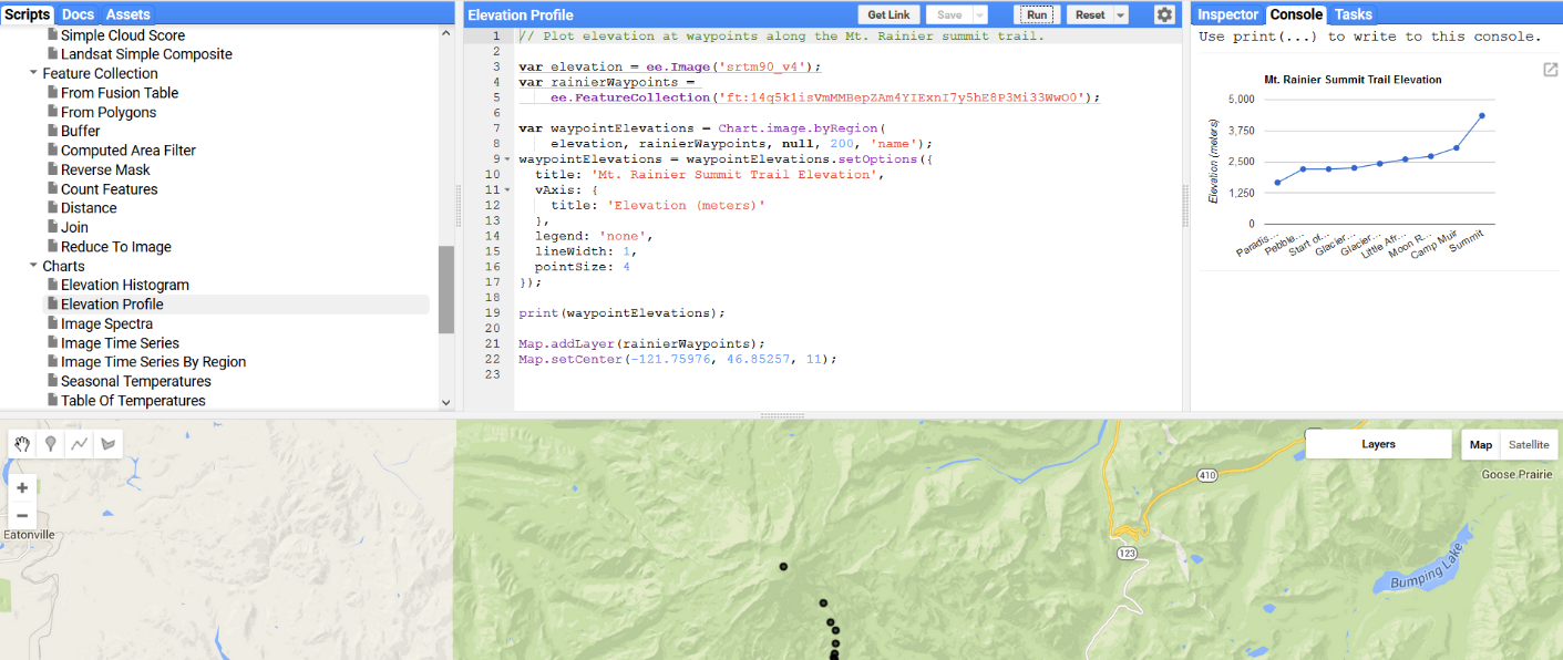
Screenshot of website:

Targeted Stakeholder: Analytical and Spatial Specialists working in Ministeries, NGOs and other regional government organizations
Description: Earth Engine is a platform for very large scale (petabyte-scale) scientific analysis and visualization of geospatial datasets, both for public benefit and for business and government users. Earth Engine stores satellite imagery, organizes it, and makes it available for the first time for global-scale data mining. The public data archive includes historical earth imagery going back more than forty years, and new imagery is collected every day. Earth Engine also provides APIs in JavaScript and Python, as well as other tools, to enable the analysis of large datasets.
Earth Engine framework contains JavaScript and Python based APIs that allow users to use vast imagery collection based on standard imagery sources from NASA / USGS such as MODIS, Landsat imagery collection and their derived products such as NDVI, EVI, precipitation, elevation and other indices. Registered users can upload their own spatial datasets (rasters and vectors). Earth Engine supports functionality such as generation of hill shades, classification of land cover based on supervised and unsupervised classifiers, canny edge detector, pan sharpening, pixel counts, clipping, cloud masking, image spectra, spectral unmixing, linear regression etc.
Usage of Earth Engine is restricted to purposes of development, research and education. Commercial applications are being explored by Google, needs of government organizations working in forestry, environment and water sectors should be accommodated under the current Earth Engine agreement. Excellent documentation and examples are available on the Google Developers Site. Earth Engine supports partial collaboration with other tools, where by imagery and data from other tools may be imported and analysis performed in Earth Engine can be downloaded and used by other tools.
How can the ICT product/innovation benefit the project?
Google Earth Engine provides remote sensing and other analytical capabilities in the forestry sector that is unprecedented in scale. It reduces analytical times of imagery processing by factor of few hundred to a thousand via algorithms running on the cloud computing infrastructure at Google. Above mentioned functionality can be used to derive deforestation maps, land cover maps within forests, mapping of tree species using these datasets and other user-defined datasets. Using Earth Engine, Matt Hansen et al. at University of Maryland created a 30 m resolution global map of deforestation. 600,000 Landsat images were used as input into the model. What would have taken an advanced single computer 15 years to process, was processed in a matter of days. Innovation in this case is the value of time that this product offers and potential to expand it in future to analyze and solve very complex forestry related problems.