Malawi Spatial Data Portal (MASDAP)
| Name/Title: | Malawi Spatial Data Portal (MASDAP) |
| Source | Government of Malawi |
| Category | Internet App |
| Sector | Environment, Water Resources, Climate, ICT |
| Technology Platform | Website |
| Date Started/Timeframe | 2012 – present |
| Website/URL | http://www.masdap.mw/ |
| Primary Language(s) | English |
| Location | Lilongwe, Malawi |
| Keywords | Knowledge, data, GIS, spatial, content |
| Targeted Stakeholder | Data Analysts, GIS Specialists, Project Management teams |
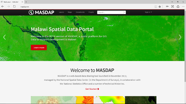
Description: Malawi Spatial Data Platform (MASDAP), is a web-based data sharing tool launched in November 2012, managed by the National Spatial Data Center in the Department of Surveys, in collaboration with the National Statistics Office and other technical Ministeries. This portal is free and based on open-source GeoNode software for improved inter-agency collaboration and enhanced public access to information for knowledge product generation and decision support. It allows users to upload, manage and browse spatial data, explore, compose and share maps, search and download relevant documents, and gives different levels of access to users (viewing, editing, uploading) based on nature of their work and needs.
MASDAP will include further information and visualization to the platform from various global and in-country sources, expanding institutional commitments to open data, supporting community mapping activities, and developing decision support tools that leverage open data to assist the Government of Malawi with contingency and land-use planning activities.
How can the ICT product/innovation benefit the project?
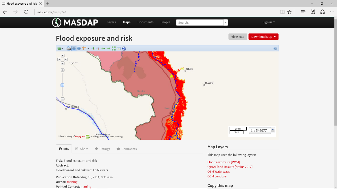
MASDAP is based on concept of free and open source data and tools. It was built using open source software and content management platforms and hosts variety of Environment, Water Resources, Forestry, Climate, Agriculture, Disaster Risk related datasets at varying scales for Malawi. Similar tools could be deployed for Forestry related data at national, regional and local scales for better management for forests and inclusive discussion based on Participatory GIS principles with local communities.