3D air quality modeling with sensor drones in Greece
Challenges:
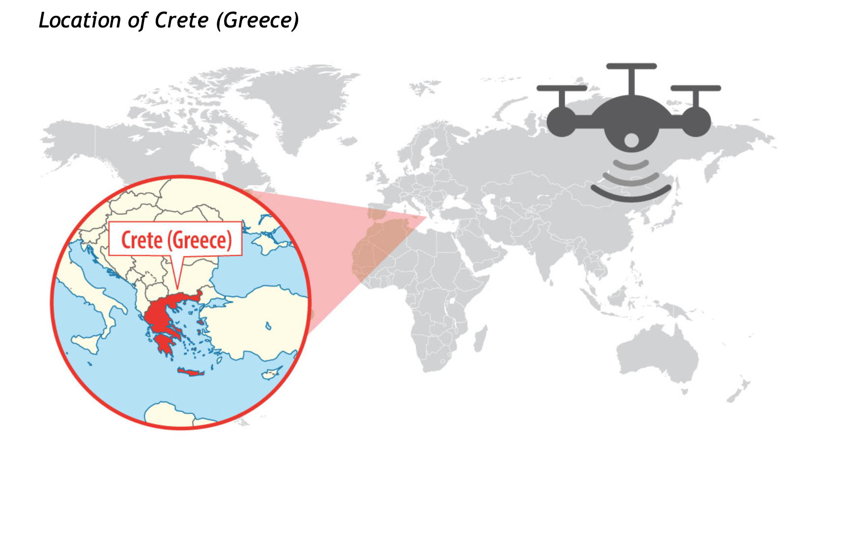
Air pollution in Greece has been a serious environmental problem in the last decades. Rapid and disorganized urbanization of cities, lack of infrastructure and an increasing motor vehicle fleet in urban regions were the main causes of air quality deterioration in the country. With more than 1,400 islands, maritime and air transports are common in Greece exacerbating the air pollution.
The evaluation of air quality and pollution has been traditionally conducted by ground based monitoring. Complexity of the terrain and physical barriers usually complicate data collection, augmenting costs and decreasing efficiency and performance.
Solution:
http://www.libelium.com/3d-air-quality-modeling-with-sensor-drones-in-greece/
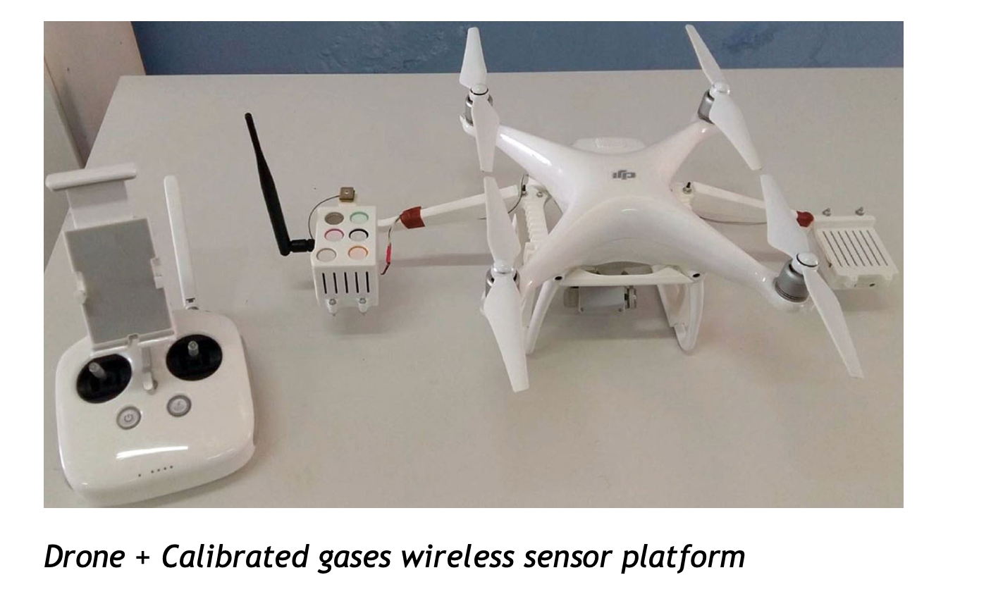
Drones equipped sensors were able to measure:
- air temperature,
- atmospheric pressure,
- humidity,
- carbon monoxide (CO),
- carbon dioxide (CO2),
- sulfur dioxide (SO2),
- ozone (O3),
- nitrogen dioxide (NO2),
- and ammonia (NH3).
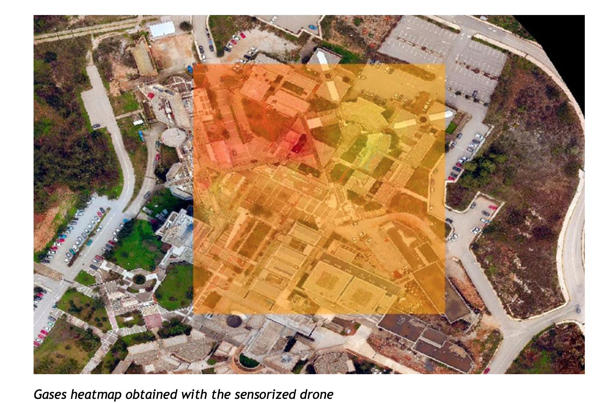
Drones equipped with compact sensors can provide data at nearly any point in a three-dimensional axis. This interesting characteristic favors the reduction of sensor nodes used in every smart cities or smart environment project,diminishing the total cost of the solution. Additionally, permits the user to obtain local data for production monitoring, problem detection and local climate control.
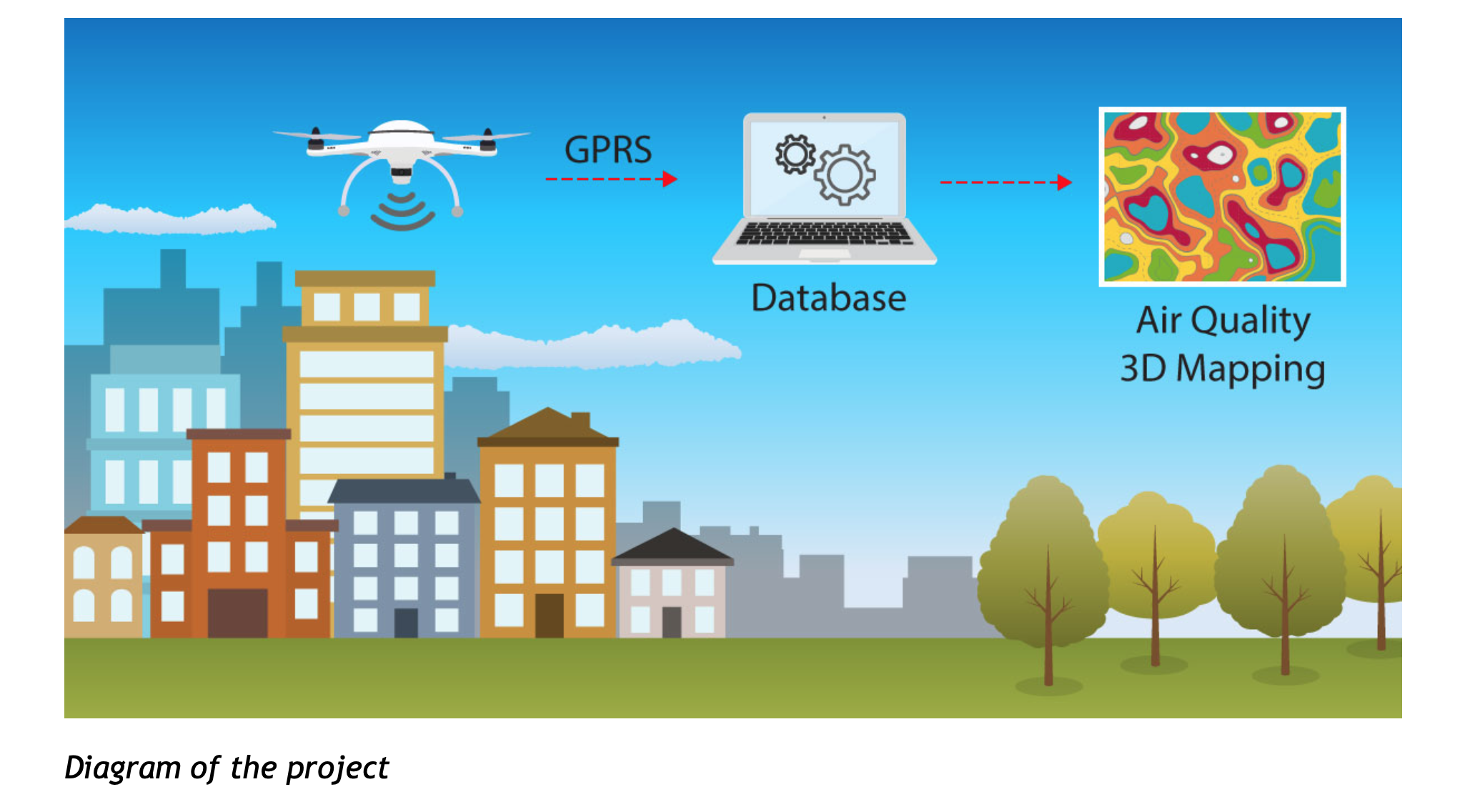
The projects require a wireless sensor network with the following requisites:low cost, portability, capability of data storage and wireless transmission of the data. Another additional requirement was time and location stamping of gas measurements, which was accomplished with an integrated GPS module.
While the drone flies, the sensors take measurements and send, via GPRS, the information directly to the database, where it is processed.
The application of this disruptive methodology can be used in areas where high concentration of air pollutants is a concern, such as industrial areas, harbors or airports. The use of more than one UAV could offer simultaneous data at different locations and heights, giving the opportunity to investigate air quality at a bigger scale.